Words: Mark Stevenson
Photos: Mark Stevenson & Steven Sutcliffe
This week when I went for a walk around Rodley Nature Reserve. I very lazily went with no intention of taking any pics of the wildlife there, one reason was that the hides seemed rather busy and the other was Steven Sutcliffe.
I have seen Steven’s wildlife pics and he has taken some crackers over the years -especially at Rodley Nature Reserve – so all the wildlife pics in this article are all his.
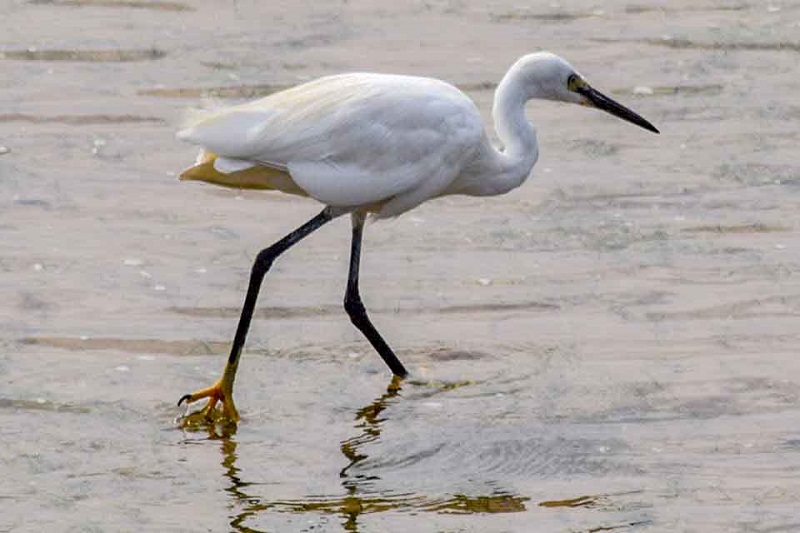
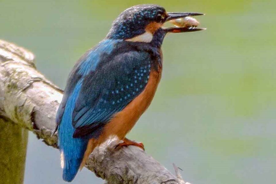
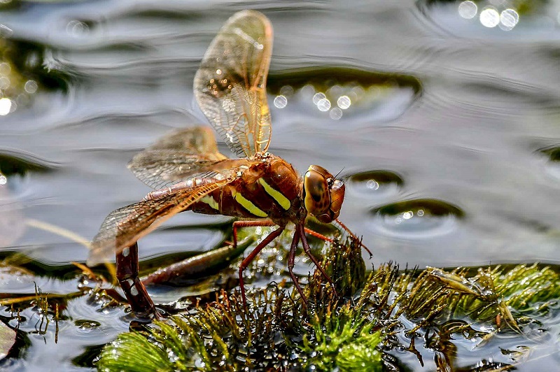
The reason I was at the Reserve was that there is a ‘Non-Definitive’ footpath there. I’m not a betting man but I would put money on the footpath being 300 years old or more (an educated guess).
The footpath, called Occupation Road, once stretched all the way from Moor Top, which was at a ‘road junction’ of Rawdon and Horsforth Common. It is now part of the runway at the Leeds and Bradford Airport.
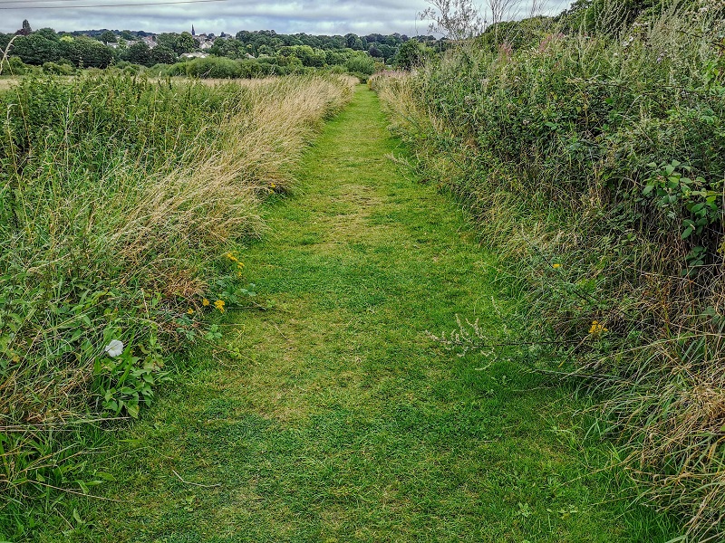
Occupation Road worked its way down to Crag Hill Chapel in Horsforth and then down to Newlay.
Apart from a bit at the beginning at Moor Top, I can’t find the name Occupation Road on any map but it does crop up in the Transcript of the Tithe Maps and this gives some clues to its route.
To make it more confusing, when it gets to the area of the Nature Reserve in the 1830’s it goes off to the top and bottom of the Reserve (both roads are called Occupation Road) but they both meet up again near the River Aire.
Unlike many paths in the outer regions of Leeds, these more inner-city paths have not been made ‘definitive’ by Leeds City Council, meaning they are not recorded on the Leeds City Council’s official ‘Definitive Map of Rights of Way’.
Residents have until 2026 to record these paths before they are lost. At least 20 people need to have walked and notified the Council that it is in use through submitting a ‘Public Rights of Way Evidence Form’ to allow the path to be officially recorded. Sadly, for the most part Occupation Road is already blocked off.
In the 1830’s the Reserve’s different plots of land were owned either by J S Stanhope Esquire or the Earl of Cardigan.
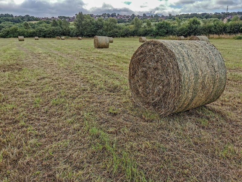
One of the plots of land owned by J S Stanhope Esq was called Plum Pudding, which is better than what it was called a hundred years later the field with the filter beds in.
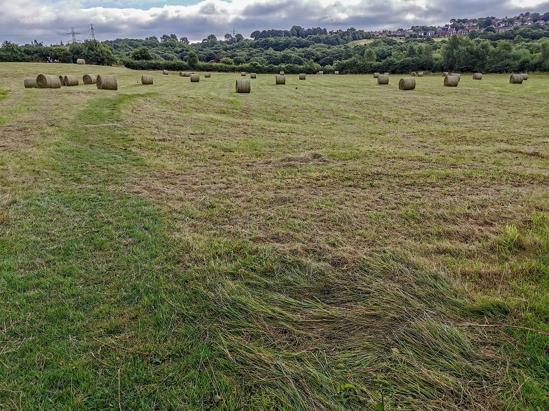
The Rodley Nature Reserve, which is run entirely by volunteers, was once a sewage works. It is celebrating its 21st anniversary this year.
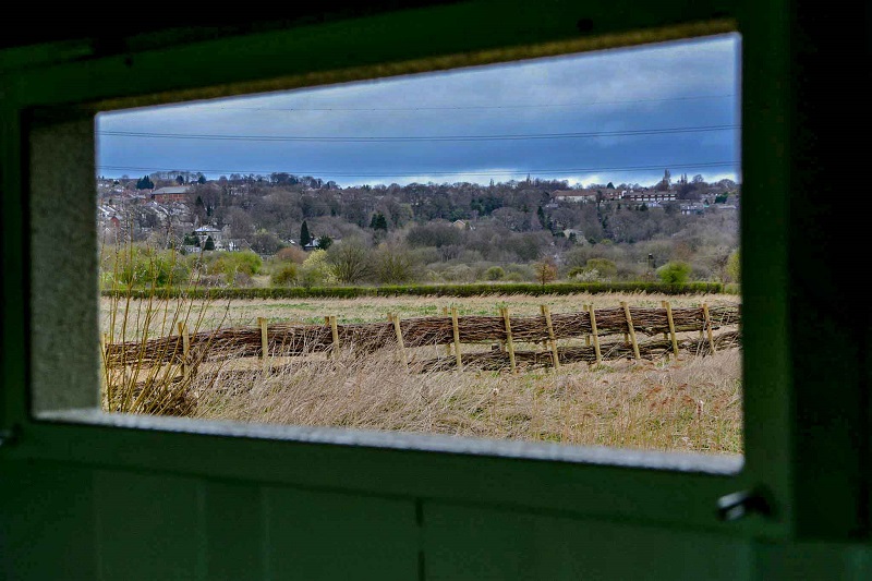
For more on West Leeds’ history, check out the regular Mark’s History column.

